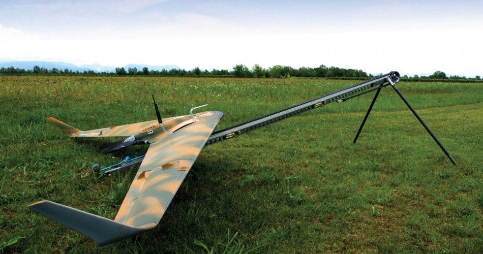
UAV / Aircraft
Design and integration of “Remotely piloted systems” commonly called Drones, and UAVs (Unmanned aerial vehicle). There are different types of drones, with fixed wing and rotary wing, equipped by optical, multispectral, thermal cameras, laser scanners, LIDAR , with which we obtain:
- remote sensing of high resolution images
- Aerial photogrammetry to obtain 3D models and high precision maps, DEM (Digital Elevation Model), etc.
- Interpretation of prescription maps, thematic maps, 2D maps,
- Algorithms for analyzing remote sensing data and obtaining useful information and precise indications on the interventions to be carried out in the individual areas
The applications can be different: in precision agriculture, topography, urban land registry, environmental monitoring, infrastructure and construction, etc.
SWORM OF UAV’s Fixed Wings: Strix D
- ISR (Intelligence, Surveillance, Reconnaissance)
- Land security, Land monitoring, Search and Rescue, Border security
- Naval defence from avionic and surface threats
Ports and Coastal defence, Antiterrorism - Localization precision not achievable with existing multi antenna, single platform systems

UAV Application
MILDAR SYSTEM – PNRM
Anti IED Techniques based on the land image processing and multiple sensors data fusion. LIDAR, IR, Optical image analysis from different heights and platforms: 3.000, 1.000 and 300 feet.
